GIS
Summary:
Cucamonga
Valley Water District (CVWD) is a retail water provider serving
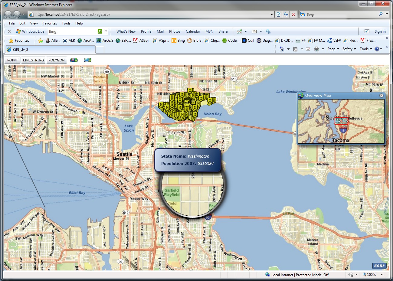
185,000 customers within a 47 square mile area. A Silverlight app was
built using Bing Map to allow users to locate requests. GIS to Reverse Geolocate
map point/street Address. Convert
ESRI Shapefile to SQL Server 2008 Spatial GML format using Shape2SQL
tool. Implement algorithm, using polygon created from boundary points,
to calculate if an address lies within or outside CVWD Service Area.
For Redlands Institute, work on decision analysis
UI to interface complex environmental systems with GIS.
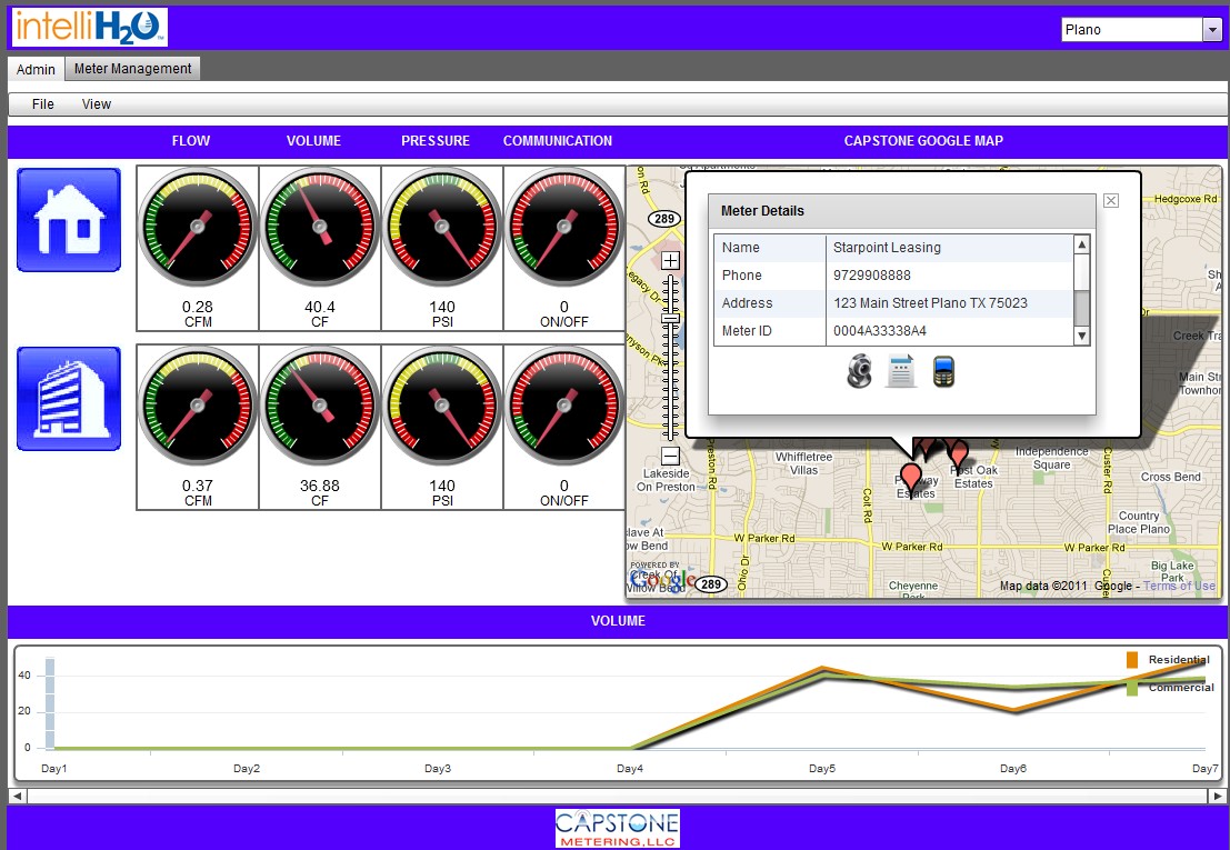
Create app for Capstone Metering to monitor and
manage smart water meter. Create Pushpins and Info Popups on Google/b> M Map via Google Flash API. Live WebCam.
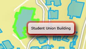
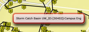
Build rich interactive mapping application for
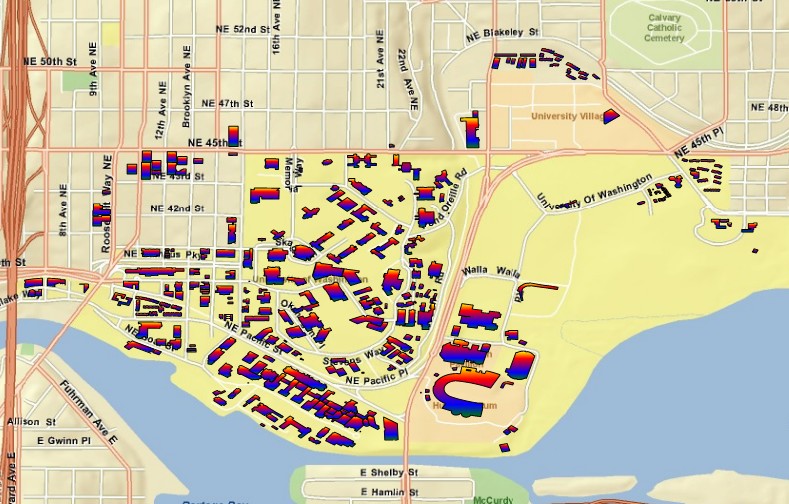
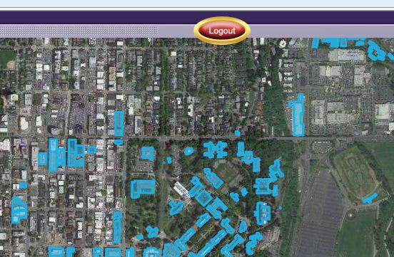
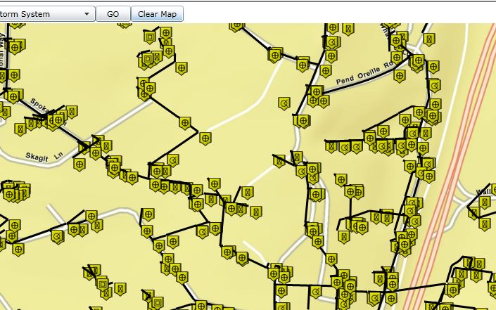
University of Washington campus to locate and plot assets and link to
databases for tracking, maintenance, deployment, and monitoring. Convert
OpenLaszlo + b style="mso-bidi-font-weight:normal">GoogleMapb> … to
Flex/Flash/ActionScript + ESRI
Maps. Convert Flex … to Silverlight + ESRI Maps because of performance
(Flex single threaded vs. Silverlight multi-threaded). Modify
Basemap to incorporate both
ESRI and Bing mapping. From parsed XML, render
Points,
Lines, Polygons on
Map Layers t to represent
features such as trees, bollards, water/sewer/high pressure lines,
buildings, parking lots.
